RELEASED: Near-Real-Time Bushfire Boundaries Dataset
- EMSINA Group
- Nov 29, 2023
- 1 min read

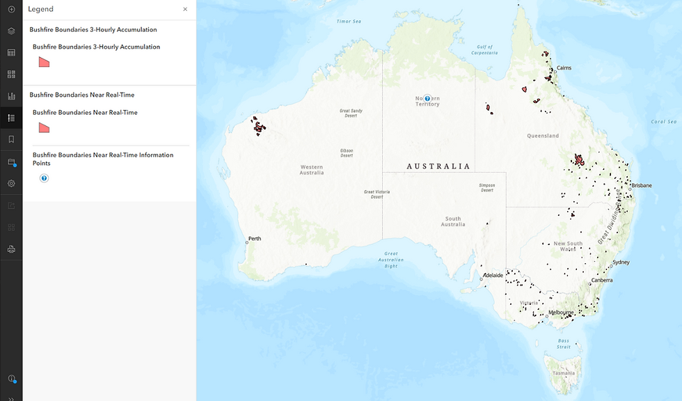
The joint Project Team from NBIC, CSIRO, GA and EMSINA have just announced the release of the National Near-Real-Time Bushfire Boundaries Dataset. Using all available and authoritative sources of state/territory spatial data this new product gives all Australian's a regularly updated National view of the latest bushfire boundaries.

THANK YOU to all the State and Territory Agencies who have contributed their time and data into this National Project. In particular we would like to acknowledge all the staff from the States and Territories that work incredibly hard with very few resources and funding to develop this bushfire dataset. It is through their hard work that this NBIC led Project and in partnership with GA and EMSINA are now in a position to offer this dataset.

Access to the Data:
The data can now be accessed from the Digital Atlas of Australia (DAA) platform: click here
To ensure you don't miss any further updates to this and any other National dataset EMSINA recommends you subscribe to the DAA email list: https://communication.ga.gov.au/subscribe---digital-atlas


Comments